
Blue Ridge Summit topographic map
Click on the map to display elevation.
About this map
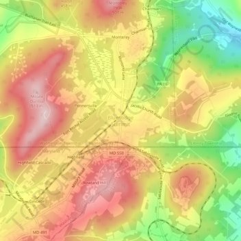
Name: Blue Ridge Summit topographic map, elevation, terrain.
Average elevation: 1,312 ft
Minimum elevation: 801 ft
Maximum elevation: 1,693 ft
Franklin County trails, hiking, mountain biking, running and outdoor activities
Other topographic maps
Click on a map to view its topography, its elevation and its terrain.
Wayne Heights
United States > Pennsylvania > Franklin County > Washington Township
Average elevation: 692 ft
Rouzerville
United States > Pennsylvania > Franklin County > Washington Township > Rouzerville
Average elevation: 748 ft