
Thank you for supporting this site ❤️
Make a donation
Make a donation
Gear up for your next adventure:
As an Amazon Associate, this site earns from qualifying purchases at no extra cost to you.
Zwickau topographic map
Click on the map to display elevation.
Thank you for supporting this site ❤️
Make a donation
Make a donation
Gear up for your next adventure:
As an Amazon Associate, this site earns from qualifying purchases at no extra cost to you.
About this map
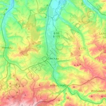
Name: Zwickau topographic map, elevation, terrain.
Location: Zwickau, Langenweißbach, Zwickau, Saxony, 08134, Germany (50.64172 12.40838 50.81284 12.56596)
Average elevation: 1,079 ft
Minimum elevation: 781 ft
Maximum elevation: 1,565 ft
Thank you for supporting this site ❤️
Make a donation
Make a donation
Gear up for your next adventure:
As an Amazon Associate, this site earns from qualifying purchases at no extra cost to you.