Saint-Michel topographic map
Interactive map
Click on the map to display elevation.
About this map
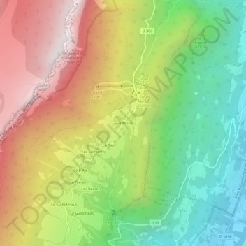
Name: Saint-Michel topographic map, elevation, terrain.
Average elevation: 3,232 ft
Minimum elevation: 768 ft
Maximum elevation: 6,230 ft

Click on the map to display elevation.
Name: Saint-Michel topographic map, elevation, terrain.
Average elevation: 3,232 ft
Minimum elevation: 768 ft
Maximum elevation: 6,230 ft