
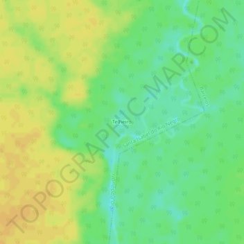
Santa Isabel do Rio Negro topographic map
Interactive map
Click on the map to display elevation.
About this map
Name: Santa Isabel do Rio Negro topographic map, elevation, terrain.
Average elevation: 138 ft
Minimum elevation: 92 ft
Maximum elevation: 174 ft