
Heestert topographic map
Interactive map
Click on the map to display elevation.
About this map
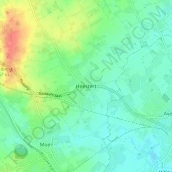
Name: Heestert topographic map, elevation, terrain.
Location: Heestert, Kortrijk, West-Vlaanderen, Vlaanderen, 8551, België (50.76215 3.39202 50.80215 3.43202)
Average elevation: 85 ft
Minimum elevation: 30 ft
Maximum elevation: 210 ft