
Comus topographic map
Interactive map
Click on the map to display elevation.
About this map
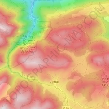
Name: Comus topographic map, elevation, terrain.
Average elevation: 4,134 ft
Minimum elevation: 2,005 ft
Maximum elevation: 5,453 ft
Comus ist ein kleines Bergdorf auf einer Höhe von rund 1200 Metern. Es liegt am Nord-Ostrand des Pays d’Aillou am Oberlauf des Hers-Vif.