
Coyllococha topographic map
Interactive map
Click on the map to display elevation.
About this map
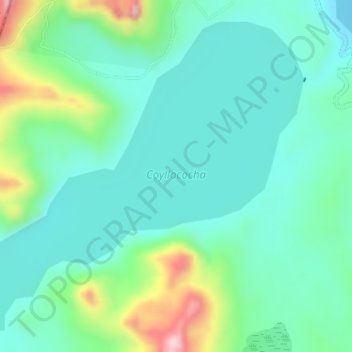
Name: Coyllococha topographic map, elevation, terrain.
Location: Coyllococha, JU-792, Chongos Alto, Huancavelica, Perú (-12.60315 -75.57178 -12.57568 -75.53968)
Average elevation: 15,476 ft
Minimum elevation: 15,243 ft
Maximum elevation: 16,175 ft