
Daïra Tindouf topographic map
Interactive map
Click on the map to display elevation.
About this map
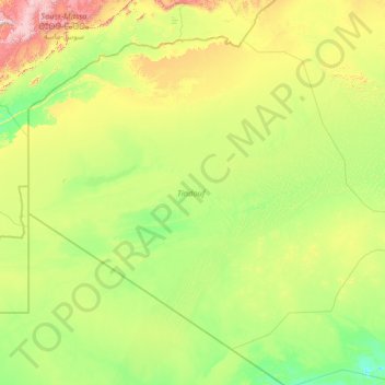
Name: Daïra Tindouf topographic map, elevation, terrain.
Location: Daïra Tindouf, Tindouf, Algérie (25.51348 -8.66891 29.60791 -2.98025)
Average elevation: 1,532 ft
Minimum elevation: 686 ft
Maximum elevation: 7,221 ft
Other topographic maps
Click on a map to view its topography, its elevation and its terrain.
Oum el Assel
Algérie > Tindouf > Daïra Tindouf
Oum el Assel, Daïra Tindouf, Tindouf, Algérie
Average elevation: 1,709 ft