
Central Gonja District topographic map
Interactive map
Click on the map to display elevation.
About this map
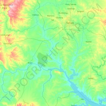
Name: Central Gonja District topographic map, elevation, terrain.
Location: Central Gonja District, Savannah Region, Ghana (8.52959 -2.25803 9.34479 -0.60018)
Average elevation: 456 ft
Minimum elevation: 243 ft
Maximum elevation: 1,568 ft
Other topographic maps
Click on a map to view its topography, its elevation and its terrain.