
Thank you for supporting this site ❤️
Make a donation
Make a donation
Gear up for your next adventure:
As an Amazon Associate, this site earns from qualifying purchases at no extra cost to you.
Moinabad topographic map
Click on the map to display elevation.
Thank you for supporting this site ❤️
Make a donation
Make a donation
Gear up for your next adventure:
As an Amazon Associate, this site earns from qualifying purchases at no extra cost to you.
About this map
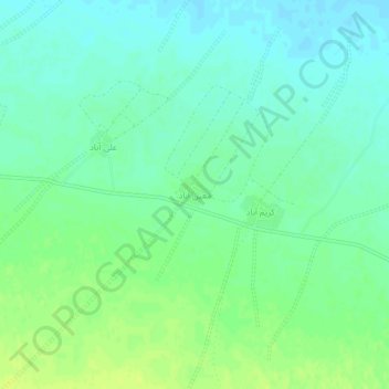
Name: Moinabad topographic map, elevation, terrain.
Location: Moinabad, بخش زواره, Ardestan County, Isfahan Province, Iran (33.54329 52.44525 33.58329 52.48525)
Average elevation: 3,136 ft
Minimum elevation: 3,110 ft
Maximum elevation: 3,166 ft
Thank you for supporting this site ❤️
Make a donation
Make a donation
Gear up for your next adventure:
As an Amazon Associate, this site earns from qualifying purchases at no extra cost to you.