
Casile topographic map
Interactive map
Click on the map to display elevation.
About this map
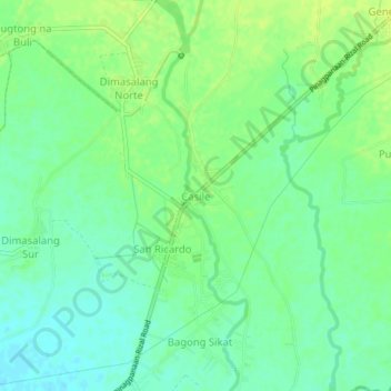
Name: Casile topographic map, elevation, terrain.
Location: Casile, Nueva Ecija, Central Luzon, Philippines (15.57883 120.95503 15.61883 120.99503)
Average elevation: 157 ft
Minimum elevation: 131 ft
Maximum elevation: 180 ft