
Gargallo topographic map
Interactive map
Click on the map to display elevation.
About this map
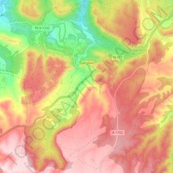
Name: Gargallo topographic map, elevation, terrain.
Location: Gargallo, Andorra-Sierra de Arcos, Teruel, Aragon, Espagne (40.79142 -0.61869 40.86133 -0.54613)
Average elevation: 3,320 ft
Minimum elevation: 2,615 ft
Maximum elevation: 3,809 ft