
Colonía Friesland topographic map
Interactive map
Click on the map to display elevation.
About this map
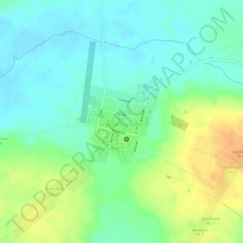
Name: Colonía Friesland topographic map, elevation, terrain.
Location: Colonía Friesland, San Pedro, Región Oriental, Paraguay (-24.61460 -56.79842 -24.60456 -56.78926)
Average elevation: 318 ft
Minimum elevation: 269 ft
Maximum elevation: 390 ft