
Melville Glacier topographic map
Interactive map
Click on the map to display elevation.
About this map
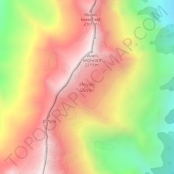
Name: Melville Glacier topographic map, elevation, terrain.
Average elevation: 5,308 ft
Minimum elevation: 3,025 ft
Maximum elevation: 7,146 ft
Other topographic maps
Click on a map to view its topography, its elevation and its terrain.
Arrowtown
New Zealand > Otago > Queenstown-Lakes District
Arrowtown, Queenstown-Lakes District, Otago, 9302, New Zealand
Average elevation: 2,201 ft