
燕园街道 topographic map
Interactive map
Click on the map to display elevation.
About this map
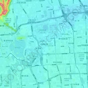
Name: 燕园街道 topographic map, elevation, terrain.
Location: 燕园街道, 海淀区, 北京市, 10080, 中国 (39.95322 116.25638 40.03322 116.33638)
Average elevation: 177 ft
Minimum elevation: 128 ft
Maximum elevation: 722 ft