
Col de la Schlucht topographic map
Interactive map
Click on the map to display elevation.
About this map
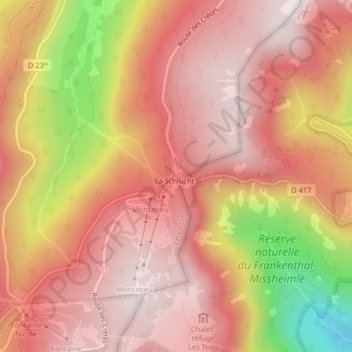
Name: Col de la Schlucht topographic map, elevation, terrain.
Average elevation: 3,504 ft
Minimum elevation: 2,123 ft
Maximum elevation: 4,134 ft