
西苑街道 topographic map
Interactive map
Click on the map to display elevation.
About this map
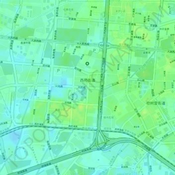
Name: 西苑街道 topographic map, elevation, terrain.
Location: 西苑街道, 西山区, 昆明市, 云南省, 中国 (25.03565 102.65449 25.04873 102.67788)
Average elevation: 6,211 ft
Minimum elevation: 6,188 ft
Maximum elevation: 6,234 ft