
Larto Lake topographic map
Interactive map
Click on the map to display elevation.
About this map
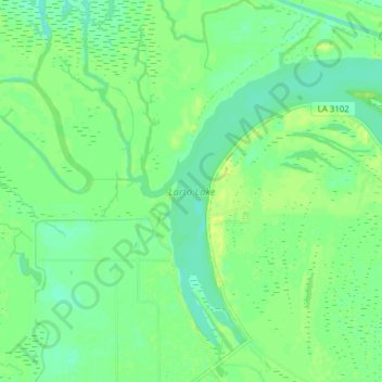
Name: Larto Lake topographic map, elevation, terrain.
Location: Larto Lake, Catahoula Parish, Louisiana, United States (31.33394 -91.94989 31.39272 -91.87266)
Average elevation: 49 ft
Minimum elevation: 20 ft
Maximum elevation: 79 ft
Other topographic maps
Click on a map to view its topography, its elevation and its terrain.
Duty
United States > Louisiana > Catahoula Parish > Duty
Duty, Catahoula Parish, Louisiana, 71425, United States
Average elevation: 95 ft
Jonesville
United States > Louisiana > Catahoula Parish
Jonesville, Catahoula Parish, Louisiana, United States
Average elevation: 56 ft