
Garlstorf topographic map
Interactive map
Click on the map to display elevation.
About this map
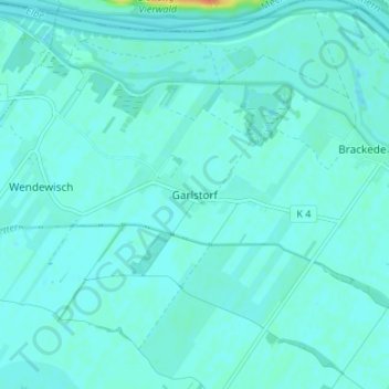
Name: Garlstorf topographic map, elevation, terrain.
Location: Garlstorf, Bleckede, Lüneburg, Niedersachsen, Deutschland (53.33048 10.65404 53.37048 10.69404)
Average elevation: 26 ft
Minimum elevation: 10 ft
Maximum elevation: 135 ft