
Serralongue topographic map
Interactive map
Click on the map to display elevation.
About this map
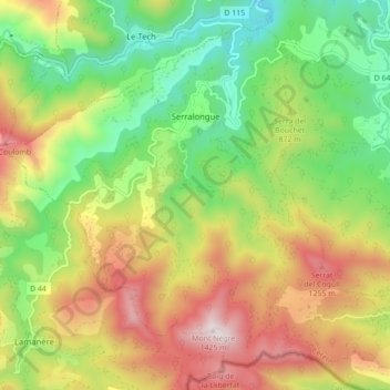
Name: Serralongue topographic map, elevation, terrain.
Average elevation: 2,799 ft
Minimum elevation: 1,434 ft
Maximum elevation: 4,596 ft
La superficie est de 2 207 ha. La commune est en moyenne à 720 m d'altitude, près de la frontière franco-espagnole (à 25 km par le Col d'Ares).