
唐家屯 topographic map
Interactive map
Click on the map to display elevation.
About this map
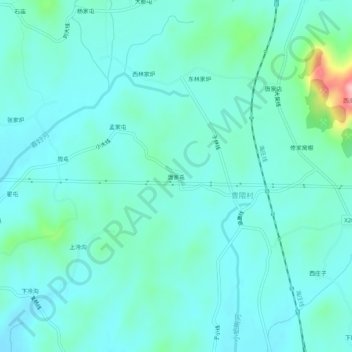
Name: 唐家屯 topographic map, elevation, terrain.
Location: 唐家屯, 庄河市, 大连市, 辽宁省, 中国 (39.78655 122.99594 39.82655 123.03594)
Average elevation: 157 ft
Minimum elevation: 66 ft
Maximum elevation: 636 ft