
河西区 topographic map
Interactive map
Click on the map to display elevation.
About this map
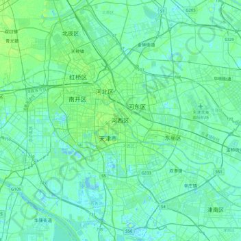
Name: 河西区 topographic map, elevation, terrain.
Location: 河西区, 天津市, 300040, 中国 (38.94769 117.05794 39.26769 117.37794)
Average elevation: 13 ft
Minimum elevation: -16 ft
Maximum elevation: 69 ft