
Mont-Blanc (Saint-Faustin-Lac-Carré) topographic map
Interactive map
Click on the map to display elevation.
About this map
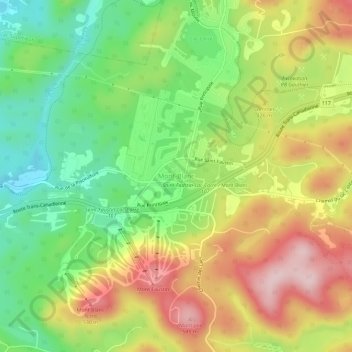
Name: Mont-Blanc (Saint-Faustin-Lac-Carré) topographic map, elevation, terrain.
Average elevation: 1,342 ft
Minimum elevation: 902 ft
Maximum elevation: 1,867 ft
Other topographic maps
Click on a map to view its topography, its elevation and its terrain.
Lac Sauvage
Canada > Québec > Les Laurentides > Mont-Blanc
Lac Sauvage, Mont-Blanc, Les Laurentides, Laurentides, Québec, Canada
Average elevation: 1,224 ft