
青衣漁民村 topographic map
Interactive map
Click on the map to display elevation.
About this map
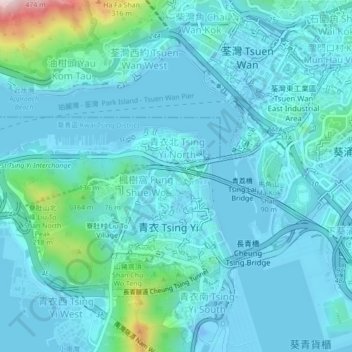
Name: 青衣漁民村 topographic map, elevation, terrain.
Location: 青衣漁民村, 青衣, 葵青區, 新界, 香港, 中国 (22.33803 114.08471 22.37803 114.12471)
Average elevation: 157 ft
Minimum elevation: -89 ft
Maximum elevation: 1,283 ft