
Saladas topographic map
Interactive map
Click on the map to display elevation.
About this map
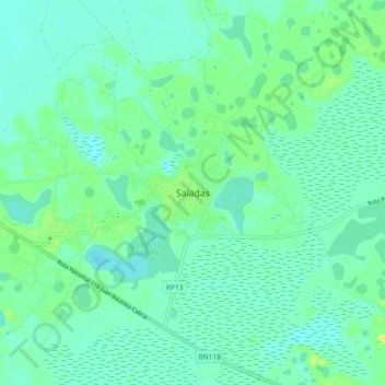
Name: Saladas topographic map, elevation, terrain.
Location: Saladas, Departamento Saladas, Corrientes, 3420, Argentina (-28.29471 -58.66333 -28.21471 -58.58333)
Average elevation: 226 ft
Minimum elevation: 203 ft
Maximum elevation: 282 ft