
Zekri topographic map
Interactive map
Click on the map to display elevation.
About this map
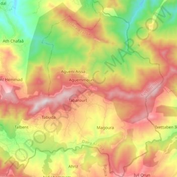
Name: Zekri topographic map, elevation, terrain.
Location: Zekri, Daïra Azazga, Tizi Ouzou, Algérie (36.73023 4.50567 36.85019 4.65296)
Average elevation: 1,919 ft
Minimum elevation: 203 ft
Maximum elevation: 3,704 ft