
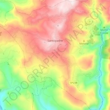
Santopadre topographic map
Interactive map
Click on the map to display elevation.
About this map
Name: Santopadre topographic map, elevation, terrain.
Location: Santopadre, Frosinone, Italia (41.56824 13.59736 41.62334 13.66740)
Average elevation: 1,568 ft
Minimum elevation: 522 ft
Maximum elevation: 2,562 ft