
Northmoor topographic map
Interactive map
Click on the map to display elevation.
About this map
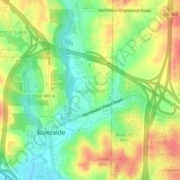
Name: Northmoor topographic map, elevation, terrain.
Location: Northmoor, Platte County, Missouri, United States of America (39.17887 -94.61093 39.18874 -94.60116)
Average elevation: 833 ft
Minimum elevation: 741 ft
Maximum elevation: 932 ft