
Evertsoord topographic map
Interactive map
Click on the map to display elevation.
About this map
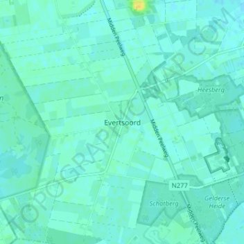
Name: Evertsoord topographic map, elevation, terrain.
Location: Evertsoord, Limburg, Nederland, 5977, Nederland (51.38375 5.93900 51.42375 5.97900)
Average elevation: 108 ft
Minimum elevation: 95 ft
Maximum elevation: 164 ft