
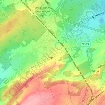
Aye topographic map
Interactive map
Click on the map to display elevation.
About this map
Name: Aye topographic map, elevation, terrain.
Location: Aye, Luxembourg, Wallonie, 6900, Belgique (50.20330 5.27312 50.24330 5.31312)
Average elevation: 797 ft
Minimum elevation: 623 ft
Maximum elevation: 1,007 ft