
Küchelscheid topographic map
Interactive map
Click on the map to display elevation.
About this map
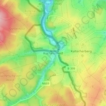
Name: Küchelscheid topographic map, elevation, terrain.
Location: Küchelscheid, Liège, Wallonia, Belgium (50.50031 6.18362 50.54031 6.22362)
Average elevation: 1,827 ft
Minimum elevation: 1,594 ft
Maximum elevation: 2,106 ft