
Haarsteeg topographic map
Interactive map
Click on the map to display elevation.
About this map
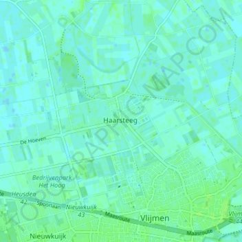
Name: Haarsteeg topographic map, elevation, terrain.
Location: Haarsteeg, North Brabant, Netherlands, 5254, The Netherlands (51.69012 5.18011 51.73012 5.22011)
Average elevation: 10 ft
Minimum elevation: -3 ft
Maximum elevation: 23 ft