
Bad Nauheim topographic map
Interactive map
Click on the map to display elevation.
About this map
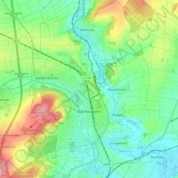
Name: Bad Nauheim topographic map, elevation, terrain.
Location: Bad Nauheim, Wetteraukreis, Hessen, 61231, Duitsland (50.34205 8.70960 50.41179 8.79627)
Average elevation: 574 ft
Minimum elevation: 410 ft
Maximum elevation: 915 ft