
Wahweap topographic map
Interactive map
Click on the map to display elevation.
About this map
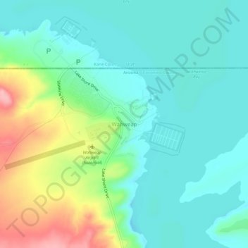
Name: Wahweap topographic map, elevation, terrain.
Location: Wahweap, Coconino County, Arizona, United States (36.97247 -111.51059 37.01247 -111.47059)
Average elevation: 3,760 ft
Minimum elevation: 3,638 ft
Maximum elevation: 4,078 ft