
Lakewood topographic map
Interactive map
Click on the map to display elevation.
About this map
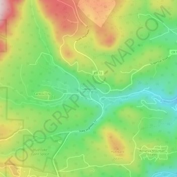
Name: Lakewood topographic map, elevation, terrain.
Location: Lakewood, Boulder County, Colorado, 80466, USA (39.97112 -105.51909 40.01112 -105.47909)
Average elevation: 8,445 ft
Minimum elevation: 7,946 ft
Maximum elevation: 9,137 ft