Castell de Quer topographic map
Interactive map
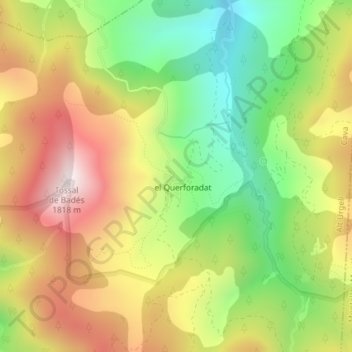
Click on the map to display elevation.
About this map
Name: Castell de Quer topographic map, elevation, terrain.
Average elevation: 4,692 ft
Minimum elevation: 3,596 ft
Maximum elevation: 5,892 ft

Click on the map to display elevation.
Name: Castell de Quer topographic map, elevation, terrain.
Average elevation: 4,692 ft
Minimum elevation: 3,596 ft
Maximum elevation: 5,892 ft