
Fossemont topographic map
Interactive map
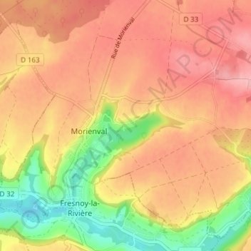
Click on the map to display elevation.
About this map
Name: Fossemont topographic map, elevation, terrain.
Average elevation: 404 ft
Minimum elevation: 164 ft
Maximum elevation: 561 ft
Other topographic maps
Click on a map to view its topography, its elevation and its terrain.
Brassoir
France > Hauts-de-France > Oise > Morienval
Brassoir, Morienval, Senlis, Oise, Hauts-de-France, France métropolitaine, 60127, France
Average elevation: 453 ft