
Boyra topographic map
Interactive map
Click on the map to display elevation.
About this map
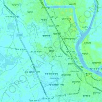
Name: Boyra topographic map, elevation, terrain.
Location: Boyra, Khulna Division, 9000, Bangladesh (22.79508 89.49163 22.87508 89.57163)
Average elevation: 13 ft
Minimum elevation: -3 ft
Maximum elevation: 43 ft