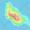
Vitória topographic map
Click on the map to display elevation.
Vitória
The relief of the islands is an extension of the continent, whether granite, surrounded by the sea and native Brazilian restinga-mangue vegetation. The central massif of the island of Vitória, Morro da Fonte Grande, has an altitude of 308.8 m and the main granitic outcrops are Pedra dos Dois Olhos, with 296m, and Morro de São Benedito, with 194m of altitude. Vitória's highest point is Pico do Desejado, located in the Trindade Island, with 601m of altitude, eleven hundred kilometers away from the mainland coastline.
About this map
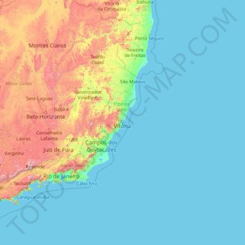
Name: Vitória topographic map, elevation, terrain.
Location: Vitória, Espírito Santo, Southeast Region, Brazil (-20.52826 -40.36233 -20.22916 -28.84764)
Average elevation: 820 ft
Minimum elevation: -3 ft
Maximum elevation: 8,383 ft
Other topographic maps
Click on a map to view its topography, its elevation and its terrain.


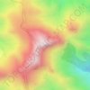
Pico da Bandeira
Brazil > Espírito Santo > Ibitirama
Pico da Bandeira, or Bandeira Peak (Portuguese for Flag Peak, pronounced [ˈpiku dɐ bɐ̃ˈdejɾɐ]), is the third highest mountain in Brazil, situated on the border of Espírito Santo and Minas Gerais states. It is the highest point in both states. It was considered the highest mountain in Brazil until 1965,…
Average elevation: 8,159 ft