
Ýasga topographic map
Interactive map
Click on the map to display elevation.
About this map
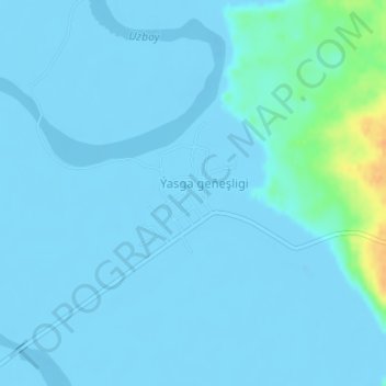
Name: Ýasga topographic map, elevation, terrain.
Location: Ýasga, Balkan, Turkménistan (39.70237 55.55182 39.71284 55.56464)
Average elevation: -7 ft
Minimum elevation: -49 ft
Maximum elevation: 105 ft