
莲湖乡 topographic map
Interactive map
Click on the map to display elevation.
About this map
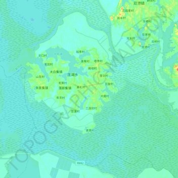
Name: 莲湖乡 topographic map, elevation, terrain.
Location: 莲湖乡, 鄱阳县, 上饶市, 江西省, 中国 (28.90195 116.45021 29.06394 116.66279)
Average elevation: 49 ft
Minimum elevation: 23 ft
Maximum elevation: 203 ft
Other topographic maps
Click on a map to view its topography, its elevation and its terrain.