
Xul-Ha topographic map
Interactive map
Click on the map to display elevation.
About this map
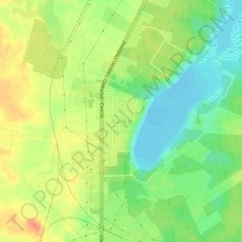
Name: Xul-Ha topographic map, elevation, terrain.
Location: Xul-Ha, Othón P. Blanco, Quintana Roo, México (18.53167 -88.48389 18.57167 -88.44389)
Average elevation: 72 ft
Minimum elevation: -7 ft
Maximum elevation: 141 ft