
La Lapa topographic map
Interactive map
Click on the map to display elevation.
About this map
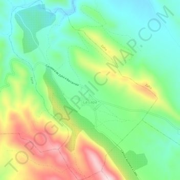
Name: La Lapa topographic map, elevation, terrain.
Location: La Lapa, Zafra - Río Bodión, Badajoz, Estremadura, Espanha (38.43525 -6.54251 38.47619 -6.49924)
Average elevation: 1,654 ft
Minimum elevation: 1,211 ft
Maximum elevation: 2,444 ft