
Ha-'Mathata topographic map
Interactive map
Click on the map to display elevation.
About this map
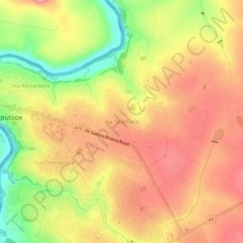
Name: Ha-'Mathata topographic map, elevation, terrain.
Location: Ha-'Mathata, Leribe District, 0802, Lesotho (-28.90946 27.90068 -28.86946 27.94068)
Average elevation: 5,243 ft
Minimum elevation: 5,026 ft
Maximum elevation: 5,377 ft