
Castellone topographic map
Interactive map
Click on the map to display elevation.
About this map
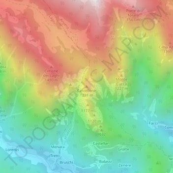
Name: Castellone topographic map, elevation, terrain.
Location: Castellone, Arsiero, Vicenza, Veneto, Italy (45.83876 11.27663 45.83886 11.27673)
Average elevation: 3,386 ft
Minimum elevation: 1,778 ft
Maximum elevation: 5,463 ft