
La Quinta topographic map
Interactive map
Click on the map to display elevation.
About this map
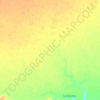
Name: La Quinta topographic map, elevation, terrain.
Location: La Quinta, Deseado, SC, Argentina (-47.47072 -67.43262 -47.38002 -67.30088)
Average elevation: 581 ft
Minimum elevation: 522 ft
Maximum elevation: 614 ft
Other topographic maps
Click on a map to view its topography, its elevation and its terrain.