
Rosebank topographic map
Interactive map
Click on the map to display elevation.
About this map
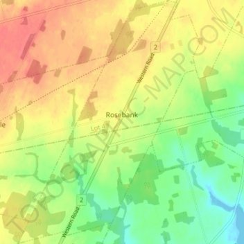
Name: Rosebank topographic map, elevation, terrain.
Location: Rosebank, Lot 4, Prince County, Prince Edward Island, Canada (46.77040 -64.18539 46.81533 -64.13638)
Average elevation: 105 ft
Minimum elevation: -7 ft
Maximum elevation: 200 ft