
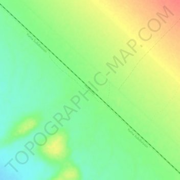
Ruthven topographic map
Interactive map
Click on the map to display elevation.
About this map
Name: Ruthven topographic map, elevation, terrain.
Location: Ruthven, Imperial County, California, USA (32.93254 -115.03136 32.97254 -114.99136)
Average elevation: 387 ft
Minimum elevation: 312 ft
Maximum elevation: 479 ft