
Dent d'Hérens topographic map
Interactive map
Click on the map to display elevation.
About this map
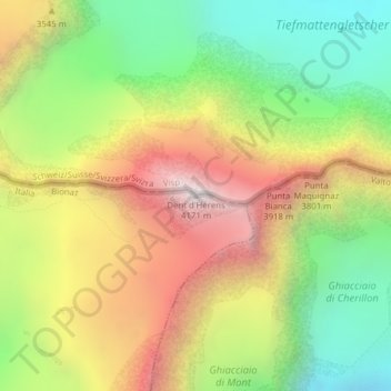
Name: Dent d'Hérens topographic map, elevation, terrain.
Location: Dent d'Hérens, Bionaz, Aosta Valley, Italy (45.96993 7.60498 45.97003 7.60508)
Average elevation: 11,004 ft
Minimum elevation: 8,753 ft
Maximum elevation: 13,642 ft
Other topographic maps
Click on a map to view its topography, its elevation and its terrain.
Torrente
Italy > Aosta Valley > Bionaz
Torrente, Bionaz, Aosta Valley, Italy
Average elevation: 8,031 ft