
Kamthi topographic map
Interactive map
Click on the map to display elevation.
About this map
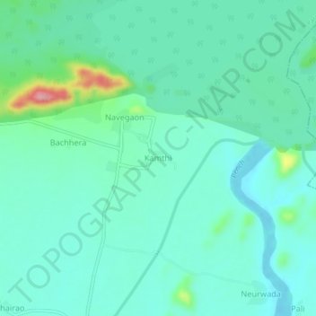
Name: Kamthi topographic map, elevation, terrain.
Location: Kamthi, Nagpur, Maharashtra, India (21.43926 79.15525 21.47926 79.19525)
Average elevation: 1,053 ft
Minimum elevation: 965 ft
Maximum elevation: 1,407 ft
Other topographic maps
Click on a map to view its topography, its elevation and its terrain.
Kamthi
India > Maharashtra > Kamthi
Kamthi, Katol, Nagpur District, Maharashtra, India
Average elevation: 1,647 ft